UMLINGLA – ONE OF THE highest motorable pass
Umlingla Pass is located in south east of Ladakh and is currently the highest motorable pass which is 5799 metres (19024 feet) high. Earlier, it was the mighty Khardungla which is 5,602 m (18,379 ft) high. B.R.O (Border road organisation) is building several other high motorable roads, it means Umlingla is not going to stay as the highest for very long time.
B.R.O. has already built another higher motorable pass named as Mig La, which is 19,400 feet (5,913 meters). This strategic road connects the Hanle region to Fukche village and significantly boosts tourism. Hopefully, the road would be tarmac by the time travel season begins in April 2026.
The Umling La pass is traversed by a road between Chisumle and Demchok, also called the Umling La Road. If you are travelling to Umlingla, then you must travel to Demchok, which is a border village. You can get a view of China from this place and also travel along the road witnessing mountains on the Chinese side.
B.R.O. is building several other roads near border region and soon they all will be open to tourists example Chumur road which would also be opened for tourists in 2026. Then, tourists can travel TSO Moriri from Umlingla via Chumur instead via Hanle, Mahe. This will shorten the travel time.
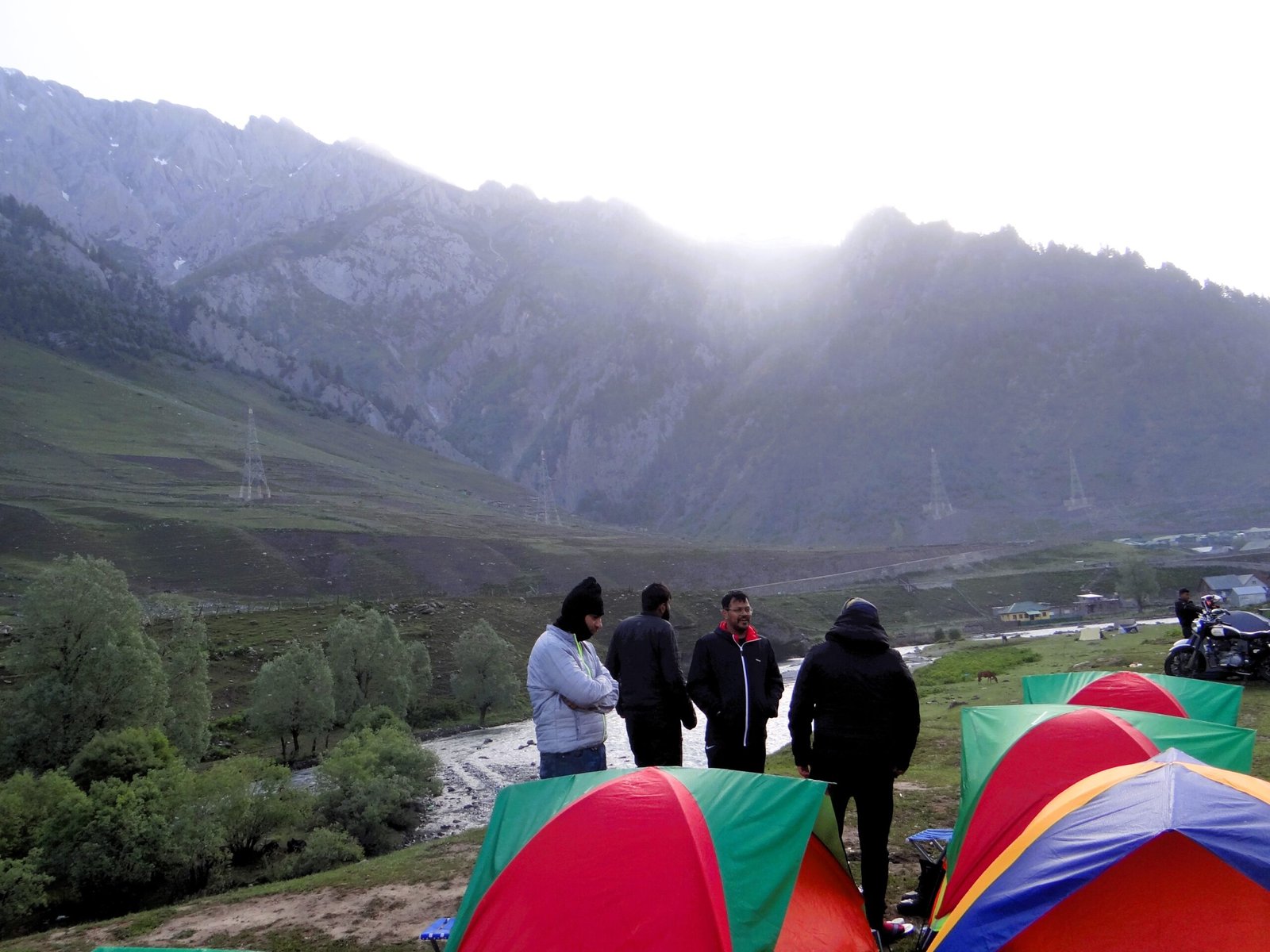
In any given situation, you cannot avoid Umlingla pass, which offers stunning view of Ladakh peaks.
How to reach
Umlingla is located in the south eastern region of Ladakh, which is close to Demchok located on the Indo-China border. Hanle is the famous tourist town, which has to be reached prior to reaching Umlingla pass. First one must reach Hanle either from Pangong or from Neoma side.
The latest fuel pump has been operational at Nyoma, therefore, make sure to fuel up here as there are no fuel pumps towards Hanle-Umlingla. If you are coming from Pangong even then, I would suggest you to reach first to Nyoma and fill up tanks. The road to Nyoma from Pangong changes from Loma bridge. From here fuel pump is just 21 Kms and the road is full tarmac.
Mainly, there are two routes to reach Umlingla pass from Hanle. Hanle-Photila-Umlingla, Hanle-Nurbula-Umlingla. First, being a black top means a tarmac road and latter being a dusty off-road.
Do not disturb Google Maps, as it won’t be of any help here, as there is no official route from Hanle to Umlingla (So far in 2025)
Hanle-Photila-umlingla
Both Hanle-Photila-Umlingla and Hanle-Nurbula-Umlingla passes through Chisumle bridge, which is the gateway to Umlingla.

Hanle to Umlingla via Photila-Chisumle brigde is a full tarmac road, however, it goes through steap, narrow and dangerous Photila pass.
Photila is located at a height of 18124 ft and reaching there from Hanle is not very challenging other than the power it require under your vehicle, as the roads are narrow and steap. At times, the turns could be very dangerous, therefore make sure to slow down near every hair-pin.
Once you are on the Photila top, going down is also not easy as it contains lots of narrow and dangerous hair-pins and it really tests the brakes of the vehicle. Some of the hair-pins are narrow as well as blind, where one must be careful specially with cars.
Once you are down, you will be at Katlay (36 Kms from Hanle), from here there are two roads one towards Koyal and other towards Umlingla, which is towards right. Proper markings or boards are setup by BRO for guidance.
From here, Umlingla is almost 45Kms. You can also camp here at Katlay beside the river. After 11 Kms, you will reach to Chisumle Bridge, which is the gateway to Umlingla, here you can relax and enjoy some lunch or tea.
Chisumle to Umlingla is almost 35Km and again goes through steap and narrow roads, but not as narrow as Photila. Due to lack of oxygen you vehicle could under perform therefore, make sure to move on a capable high engine vehhicle rather going on a under power vehicle, specially in winter it could be even more difficult. Car/bikes could freeze and deny starting. Avoid heavy loads at all times.
While returning it is again Chisumle, where you can decide either to take the same Photila route or choose the Nurbula top road. I personally suggest Nurbula while returning as Photila from this side is very steap and can be a concern for some drivers specially loaded vehicles.
Hanle-NUrbula-umlingla
Hanle-Nurbula is a tricky route and one can easily get distract and lost. The road is all deserted with sand. In case, it rains please avoid this road at any cost as then it be challenging or may be impossible to drive at places, specially on Nurbula top.
Even when it is dry the road could cause bubbling of the vehicles specially motorcycles, that could be a cause of concern for some on tight and narrow Nurbula hair-pins.
Do not travel alone on this road, there is vehicle movement but it could take time for help to arrive and can cause significant time. Avoid taking low groud clerance vehicles, you could get yourself stuck in deep sand or sand potholes.
There could be deep water crossings on this route as this route goes through villages and plane terrain. There are bridges at places but people tend to miss marking and end up on deep water crossings. Travelling on a low ground clearing vehicle could cause damage to the vehicle and make your day stuck at a place where there is no mechanical help.
Nurbula route passes through some villages and there are no official sign boards and at times drivers could miss the hand written signages from locals and can be a reason for distraction. Time is important on this route and there is no chance of staying at Umlingla and one must return to Hanle within day light. This route is not at all suggested at dark.
This route will also take you to Chisumle from where one can choose the other route. I suggest if you have enough time then you can return from Nurbula top otherwise, please choose Photila route as it is straight forwards.
UMLINGLA PASS
After travelling hundred of kilometers, once you reach Umlingla pass, I am sure you will get the feeling of being on top of the world.
You are higher than the Everest base camp at 19024 ft and the view is awesome. More than the view, it is the sense of acheivement which makes you feel proud.
There is nothing as of now, for tourists to stay at Umlingla top but, you can surely enjoy some snacks like tea, coffee, etc. Enjoyinh some food at top of the world is an awesome feeling.
As you are on a very high altitude try to preserve your energy and oxygen and come down as soon as possible. Being on top for longer duration is not suggested. You can enjoy some snacks, tea or maggie at the world’s highest cafe, take some memorable pictures.
WHERE FROM UMLINGLA ?
Once you are at Umlingla, you are very close to Indo-China border. There are 2 options either to return to Hanle or to witness the Indo-China border village Demchok. I suggest the latter, after covering hundred or may be thousands of kilometers, one must visit Demchok, the last border village on this side.
However, the decision has to be taken prior to start for Umlingla, unless you plan to stay at Demchok which is highly unlikely as there are no places for stay as of now. Therefore, start early morning for Umlingla and Demchok, so that you can plan to return by the day light.
In case, you do not wish to travel to Demchok then return route is the same from which you came from via Chismule bridge.
When to visit ?
Umlingla pass is only open during Summer (April-July) and post Monsoon (End-of-August-October) season. Best time would be mid-September, as that is when the whole Ladakh is bright after rains and landscape would be much more scenic and colorful. There are less chances of deep water crossings and snow.
September is when you will find it less crowdy but, avoid late september as that could be very cold or it might snow early. Therefrore, start of september is perfect time to visit.
If you are planning to witness snow and you like to see few people around, it is better to visit in April-end and May. Umlingla is India and BRO’s pride and a miracle developed by Indian Armed Forces. This place is a must visit.
Looking at the past 2-3 weather patterns, personally, I would not travel to Ladakh from June end to August end. The rains on the routes from Manali side as well as from Srinagar sides are witnessing severe land slides. Due to changing weather patterns last 2-3 years have been challenging. Make sure you plan your travel after witnessing careful weather patterns.
Traveling is fun, but it also bring some challenges which can be over come with careful planning. Do not under estimate the nature.
Keep mountains clean and do not litter.
Related Posts
Survival at Zero Point: Our Near-Fatal Camping Blunder in Sonamarg
Camping at Sonmarg (Sind River) The Himalayas have a way…
LADAKH-TICKING TIME BOMB-A Mechanical Nightmare on the Road to SONAMARG
The Himalayas demand more than just physical endurance; they serve…

LADAKH – ULTIMATE PREPARATION FOR THE ADVENTURE
Planning is complete, now comes the most cumbersome stage that…